
Banks of the River Devon - From Sterling Mills to the Old Red Bridge in Tillicoultry
Susan Dunbar is monitoring the banks of the River Devon from Sterling Mills to the old Red Bridge in Tillicoultry.
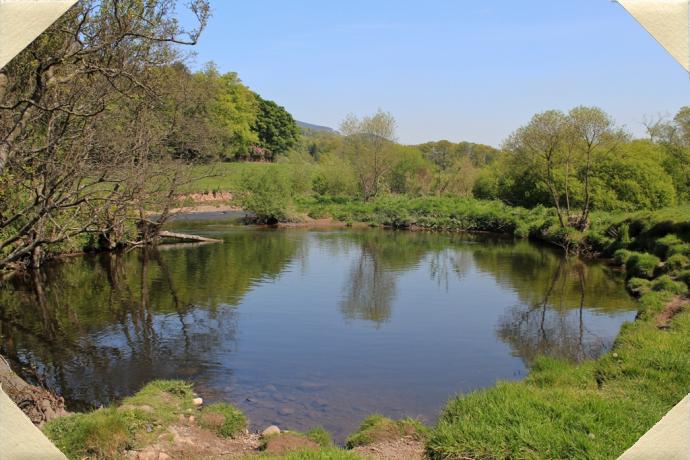
The main aim of our Environmental Monitoring Programme is to collate photographs and written descriptions of key sites within the Ochils Landscape Partnership area.
Environmental Monitoring volunteers were asked to select a site or sites to monitor throughout the year. The volunteers have been photographing their chosen sites on a regular basis - usually on a set date each week or month - and have been writing descriptions of what they see, hear, smell and touch.
Sites selected so far include the Ochil Hills themselves and key spots along the River Devon.
Through regular monitoring we are able to chart climate change as well as wear and erosion. By undertaking projects such as this we are able to pinpoint pressure sites, for example overused paths and flooding areas, which allows us to take action to protect and improve our local environment for the future.
The images and descriptions of the sites are being continually uploaded to our website so we can track the changes across the seasons. Take a look at how our environment alters throughout the year!